California Snowlines On Track To Be 1,600 Feet Higher by Century’s End
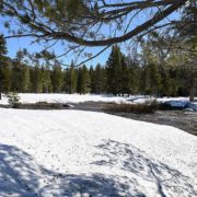
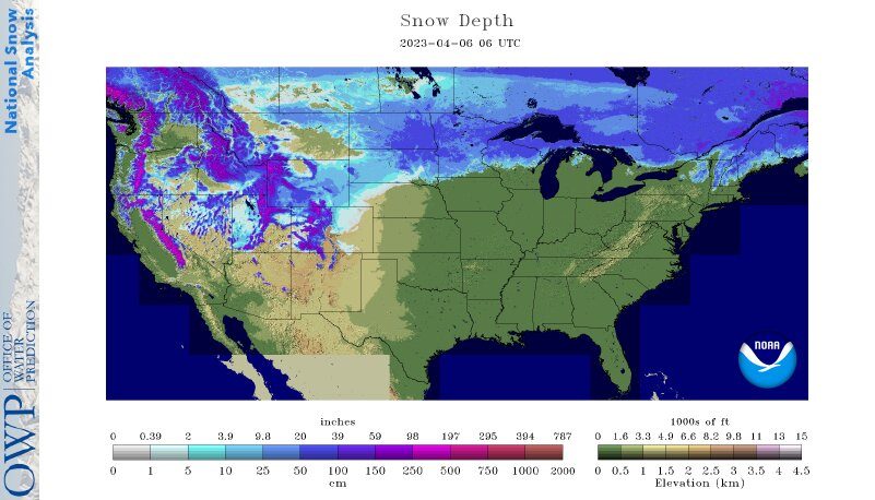
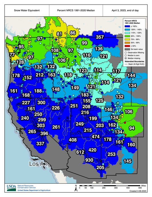
This winter produced record snowfall in California, but a new study suggests the state should expect gradually declining snowpacks, even if punctuated with occasional epic snowfalls, in the future.
An analysis by Tamara Shulgina, Alexander Gershunov, and other climate scientists at UC San Diego’s Scripps Institution of Oceanography suggest that in the face of unabated global warming, the snowlines marking where rainfall turns to snow have been rising significantly over the past 70 years. Projections by the researchers suggest the trend will continue with snowlines rising hundreds of meters higher by the second half of this century.
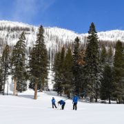
California snowlines and lower-elevation ski resorts
In the high Southern Sierra Nevada range, for instance, snowlines are projected to rise by more than 500 meters (1,600 feet) and even more when the mountains get precipitation from atmospheric rivers, jets of water vapor that are becoming an increasingly potent source of the state’s water supply.
“In an average year, the snowpack will be increasingly confined to the peak of winter and to the highest elevations,” the study says.
Diminished snowfall is a consequence of a changing climate in which places like California will get an increasing portion of their winter precipitation as rain instead of snow. The authors said this study and related research suggest water resource managers will need to adapt to a feast-or-famine future. California’s water supply will arrive less through the gradual melt of mountain snowpack that gets the state through hot summers and more via bursts of rain and runoff delivered by atmospheric rivers, which are boosted by warming and are associated with higher snowlines than other storms.
Warmer summers
Such events will further complicate the balancing act between protecting people and infrastructure from winter flooding and ensuring enough water supply during warmer summers.
“This work adds insight into the climate change narrative of more rain and less snow,” said California Department of Water Resources Climatologist Mike Anderson. “DWR appreciates our partnership with Scripps to help water managers develop, refine, and implement adaptation efforts as the world continues to warm and climate change impacts are realized.”
The study, funded by the U.S. Bureau of Reclamation and the DWR, appears in the journal Climate Dynamics today.
“This is the longest and most detailed account of snow accumulation in California,” said Gershunov, “resolving individual storms over 70 years of observed weather combined with projections out to 2100.”
Climate change impacts to ski industry
The authors make note of what this could mean for ski resorts around the state if climate change progresses unabated. For example, Mammoth Mountain, at an elevation between 2,400 and 3,300 meters (7,900 – 11,000 feet), is projected to receive 28 percent less snowfall in the latter half of the century. Lower elevation ski resorts such as Palisades and Northstar, both near Lake Tahoe, span elevational ranges of around 1,900 and 2,700 meters (6,200 – 8,900 feet). They are projected to lose more than 70 percent of their snow accumulation in an average winter.
“Snowlines will keep lifting”
“Observations and future climate projections show that already rising snowlines will keep lifting,” said Gershunov. “Epic winters will still be possible, though, and unprecedented snowfalls will ironically become more likely due to wetter atmospheric rivers, but they will be increasingly confined to the peak of winter and to the highest elevations of the Southern Sierra Nevada.”
Study co-authors include Kristen Guirguis, Daniel Cayan, David Pierce, Michael Dettinger, and F. Martin Ralph of Scripps Oceanography, Benjamin Hatchett of the Desert Research Institute of Reno, Nev., Aneesh Subramanian of University of Colorado at Boulder, Steven Margulis and Yiwen Fang of UCLA, and Michael L. Anderson of the California Department of Water Resources.
(Editor’s Note: Story by Robert Monroe, at UC San Diego Scripps Institution of Oceanography. The San Diego County Water Authority has partnered with the Scripps Institution of Oceanography at UC San Diego to better predict atmospheric rivers and improve water management before, during, and after those seasonal storms.)