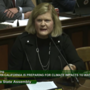
During state Assembly testimony on Tuesday, May 2, San Diego County Water Authority General Manager Sandra L. Kerl highlighted the steps taken by the Water Authority and partner water agencies across California to support the Colorado River in the era of climate change.
Kerl joined representatives from the Colorado River Board of California, the Imperial Irrigation District, Metropolitan Water District of Southern California, the California Natural Resources Agency, and the environmental community. A theme throughout the hearing was that California is prepared to do more to help the river, but all seven Basin states must be involved in a consensus-based approach.
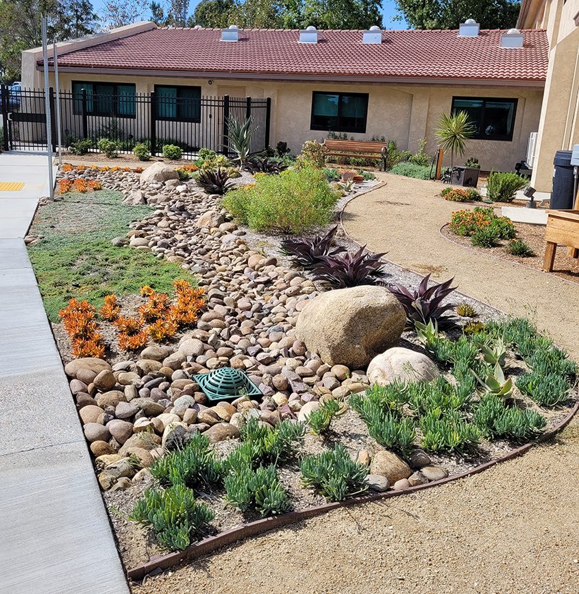
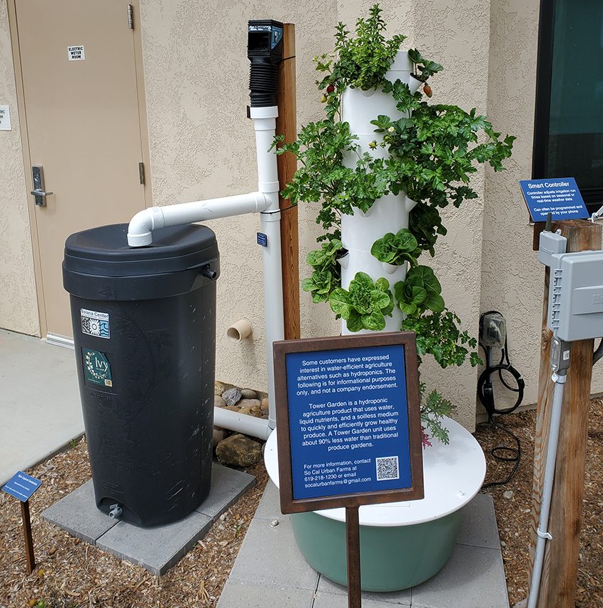
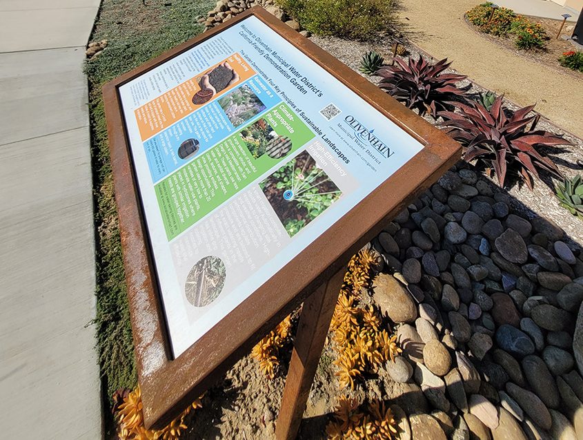
“When you ask how California is responding and preparing for the effects of climate change, I offer the San Diego region’s focus on a diversified water supply portfolio as an example of focusing on conservation and water management while also developing new drought-proof supplies,” Kerl told the committee.
Climate change and water supply
Tuesday’s hearing before the state Assembly Committee on Water, Parks, and Wildlife in Sacramento focused on the effects of climate change on the Colorado River and actions California water agencies have taken to address the river’s challenges.
More than 20 years of drought have led to record low elevation levels in lakes Mead and Powell, the two critical reservoirs California and the Lower Basin depend on for their river supplies. While heavy storms this winter and spring improved river conditions, concerns remain over the long-term effects of climate change. Efforts are underway to find lasting, durable solutions for the river.
Kerl highlighted the leadership California has shown in conservation through the 2003 Quantification Settlement Agreement or QSA, which has enabled California to live within its 4.4-million-acre-foot apportionment while helping the U.S. Bureau of Reclamation manage river supplies. At the center of the QSA, is the conserved water transfer agreement between the Water Authority and the Imperial Irrigation District.
“In total, our QSA partnerships have conserved more than 3 million acre-feet of Colorado River water since 2003 and done so in a way that supports California’s critical agricultural economy, funds socio-economic needs, and addresses the environment, most importantly the Salton Sea,” Kerl said. She noted that the QSA is an example for other Basin states to follow in implementing conservation.
Collaboration on Colorado River Basin solutions
Kerl and others expressed hope that Basin states can collaborate to keep the water flowing for all river users.
“I am confident that we will find a shared solution that moves us forward to conserve the water we need to stabilize the system and then look forward to guideline updates,” said California Natural Resources Agency Secretary Wade Crowfoot.
His comments referenced upcoming discussions on the river’s future operating guidelines, which take effect in 2026.
Colorado River Board of California Chairman JB Hamby from the Imperial Irrigation District said, “California is working with our in-state stakeholders, tribes, and Mexico via the United States to be able to deal with this in the next short-term basis and the long term.”
Metropolitan Water District General Manager Adel Hagekhalil added, “Working together, we must develop equitable, realistic solutions that reduce our collective reliance on the river.”
During her testimony, Kerl told the committee that any solutions must uphold the Law of the River, the priority right system and California’s senior rights. “It’s critical that Reclamation consider both the near-term and future operations of the river by building on the foundation of the laws, court decisions, compacts and agreements that have come before,” she said.