Otay Water District Habitat Management Preserves Biodiversity, Water Quality
The Otay Water District’s efforts to preserve local habitat contribute to the region’s biodiversity and support healthy ecosystems, which are crucial for maintaining water quality for its customers and throughout San Diego County.
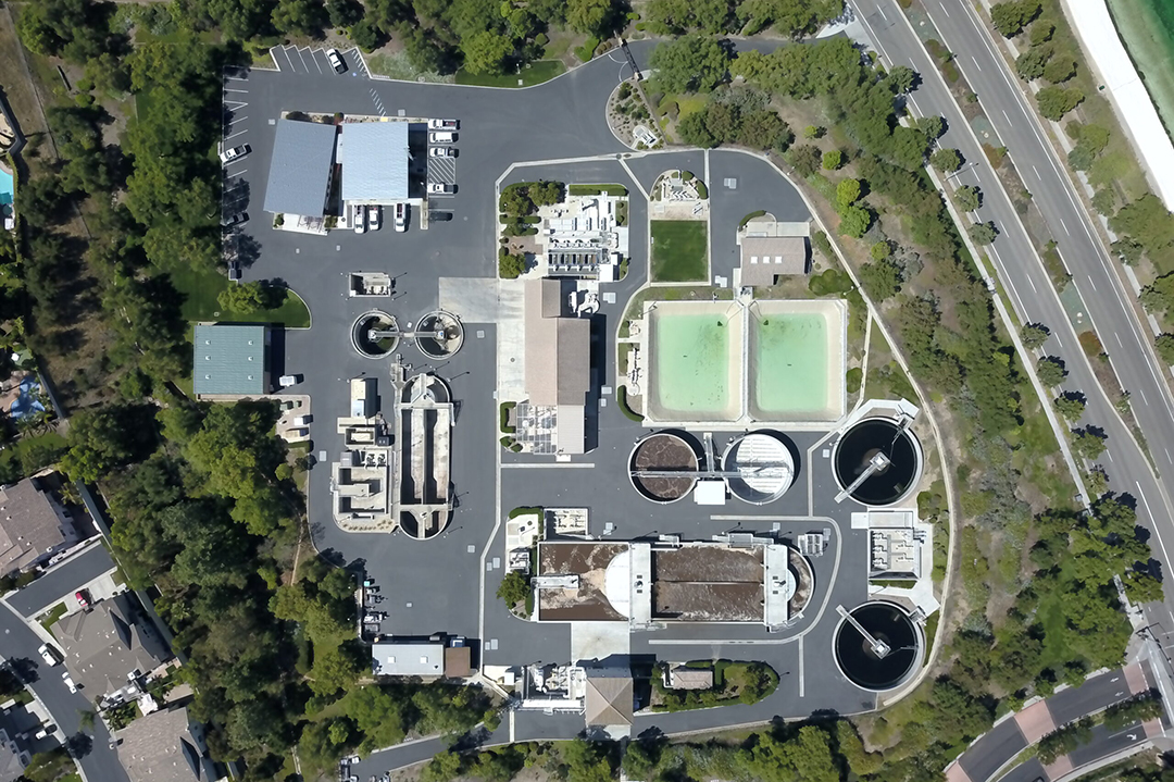
The San Miguel Habitat Management Area (HMA) is a 240-acre biological reserve owned and maintained by the Otay Water District. It is located within the City of Chula Vista and lies at the base of Mount Miguel and the San Miguel Mountains, surrounded by water reservoirs and the former Salt Creek Golf Course.
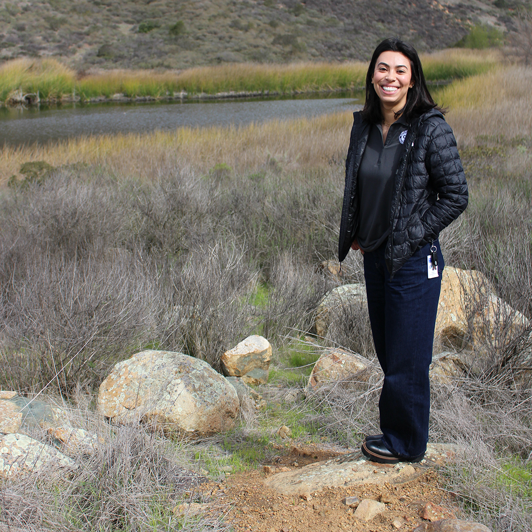
Otay Environmental Compliance Specialist Juliana Luengas works to help preserve local habitat which contributes to the region’s biodiversity and supports healthy ecosystems, which are crucial for maintaining water quality. Photo: Otay Water District
The HMA was established in 1994 under a joint agreement with the U.S. Fish and Wildlife Service and the California Department of Fish and Wildlife, fulfilling requirements established by the Endangered Species Act.
The HMA is comprised of wetlands, coastal sage scrub, and native grasslands. Over 250 different species of flora and fauna, and more than 25 special status species were found within the HMA in a 2022 survey. Some of these species include the coastal California gnatcatcher, the least Bell’s vireo, the Quino checkerspot butterfly, the burrowing owl, the coastal cactus wren, the Otay tarplant, and the variegated dudleya.
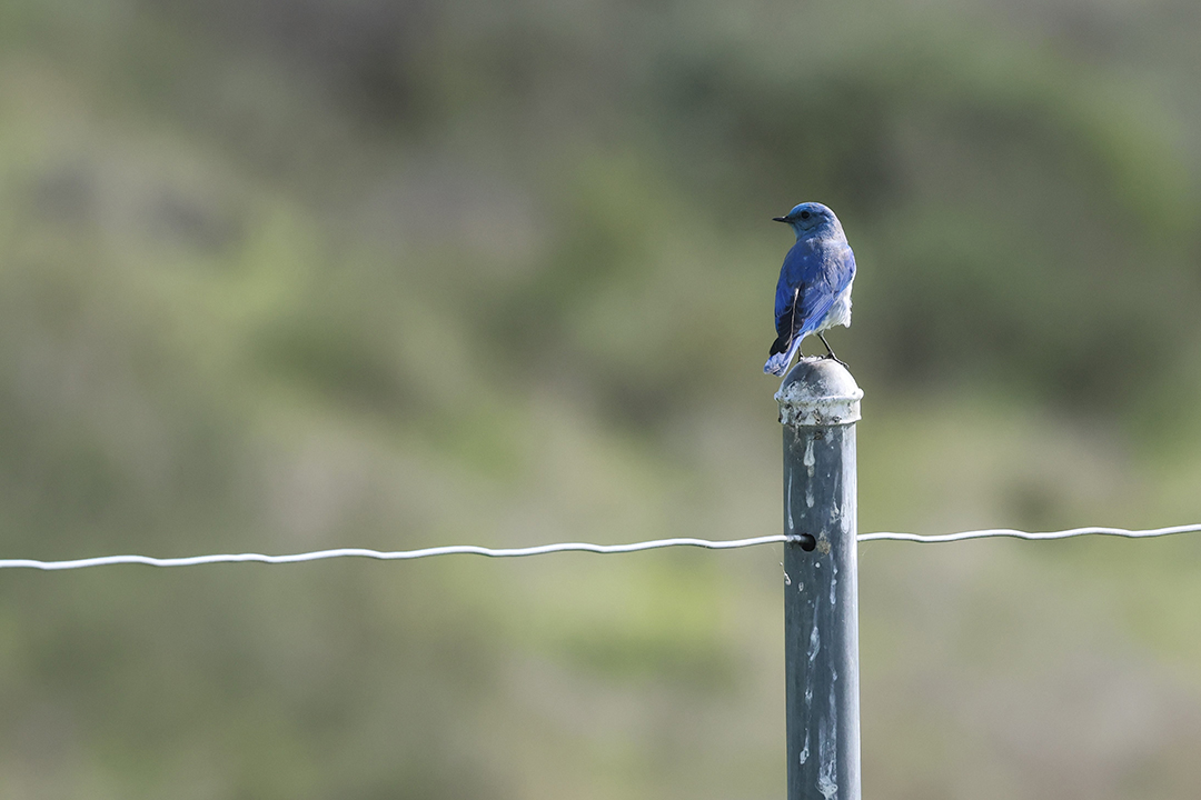
Mountain bluebirds are one of the bird species found in the San Miguel Habitat Management Area. Photo: Otay Water District
“The San Miguel Habitat Management Area reflects Otay’s commitment to protecting native species and preserving natural resources while delivering safe, reliable water to our community,” says Otay Environmental Compliance Specialist Juliana Luengas.
Habitat Preservation Helps Maintain Water Quality
Water agencies preserve habitat to ensure a sustainable and reliable water supply for current and future needs, while also supporting healthy ecosystems and communities. Habitat preservation is crucial for maintaining water quality, regulating water flow, and providing valuable ecosystem services. Healthy habitats also support biodiversity, protect endangered species, and enhance recreational opportunities.
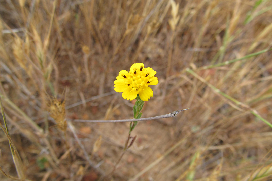
Flower of the Otay tarplant, a species within the San Miguel Habitat Management area. Photo: Otay Water District
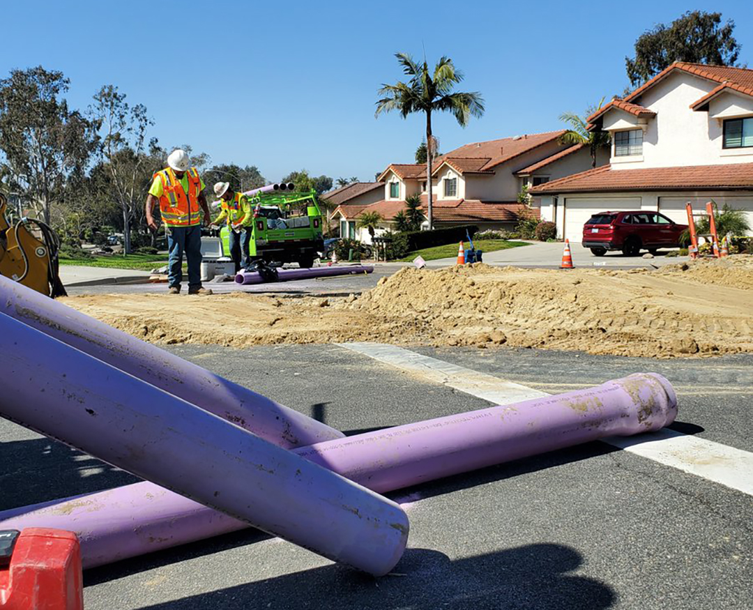
In 2023, the Otay Water District was awarded a grant through the SANDAG TransNet Environmental Mitigation Program for Threat Reduction in the HMA. This program has allocated $4 million annually to help maintain the biological integrity of San Diego County.
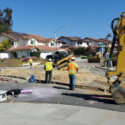
Ongoing activities within the San Miguel HMA include updating wildlife surveys and site maintenance.
Public Help Needed To Prevent Trespassing Damage to Habitat
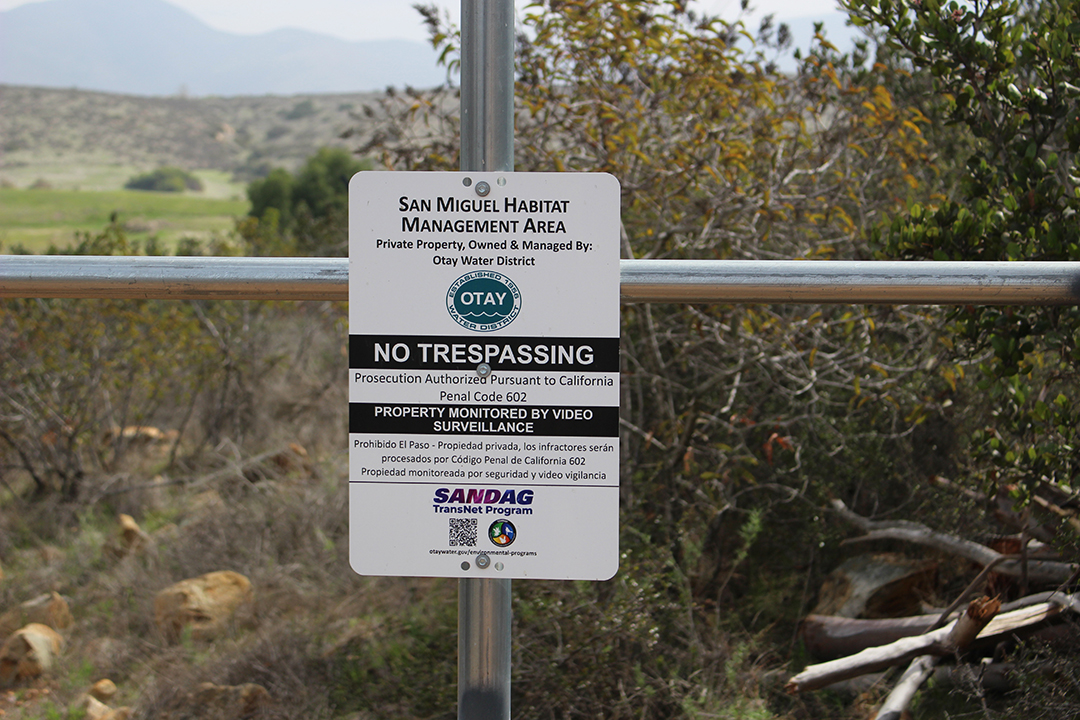
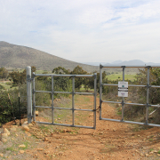
Posted signs remind the public about the need for habitat preservation by avoiding trespassing in the San Miguel HMA. Photo: Otay Water District
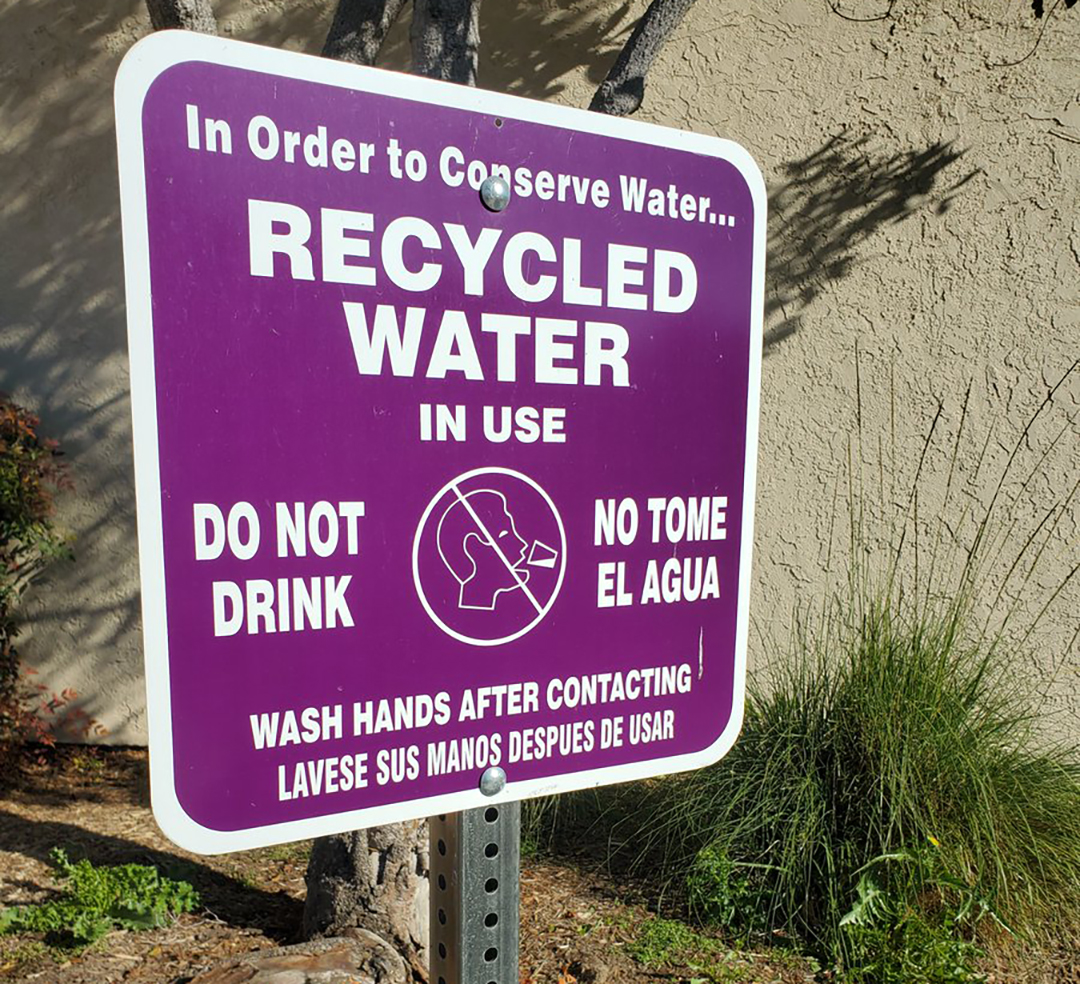
Recently, the Otay Water District has been using these funds to combat the increased threat of illegal trespassing. The HMA has experienced increased illegal entrance and the creation of trails, which have caused severe damage to native habitats and sensitive species it was created to protect.
The District aims to reduce the number of recreational trespassers, including mountain bikers, hikers, dirt bikers, and ATV riders along the perimeter fencing, and reduce disturbance to habitats throughout the HMA.
Members of the community are reminded that the San Miguel HMA is private property, and recreational use or any trespassing, such as hiking or biking, is not permitted. The public is asked to refrain from feeding wildlife or littering.
Violations will result in arrests, fines, vehicle confiscation, and prosecution to the fullest extent of the law. Residents are asked to report any trespassing by calling the City of Chula Vista Police at (619) 691-5151.
More information about the San Miguel HMA can be found at otaywater.gov/HMA.