
Sierra Snowpack Near Average In First 2025 Survey
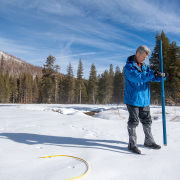
The California Department of Water Resources (DWR) conducted the first snow survey of the 2025 season on January 2 at Phillips Station in the Sierra Nevada, with positive news about the state’s water supply.
The survey recorded 24 inches of snow depth and a snow water equivalent of nine inches. This is 91 percent of the average at this location. The snow water equivalent measures the amount of water contained in the snowpack and is a key component of DWR’s water supply forecast. Statewide, the snowpack is 108 percent of average to date, compared to 28 percent for the January 2024 survey.
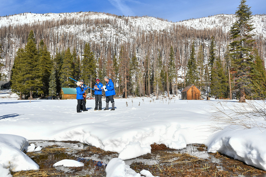
California Department of Water Resources staff members (from right) Andy Reising, Snow Surveys and Water Supply Forecasting Unit Manager, Manon von Kaenel, Water Resources Engineer, Jordan Thoennes, Water Resources Engineer, and Angelique Fabbiani-Leon, State Hydrometeorologist, conduct the first media snow survey of the 2025 season at Phillips Station in the Sierra Nevada. Photo: Nick Shockey, California Department of Water Resources
In recent years, California has been marked by extremely hot and dry conditions broken up by periods of intense rain and snow, including late 2024 and early 2025. A record-breaking hot and dry summer continued well into the fall, but a powerful atmospheric river in November broke several rainfall records in Northern California. December storms provided another boost.
“While our snowpack looks good now, we have a long way until April, when our water supply picture will be more complete,” said DWR Director Karla Nemeth. “Extreme shifts between dry and wet conditions are continuing this winter, and if the past several years are any indication, anything could happen between now and April, and we need to be prepared.”
Too Early To Predict 2025 Weather Patterns
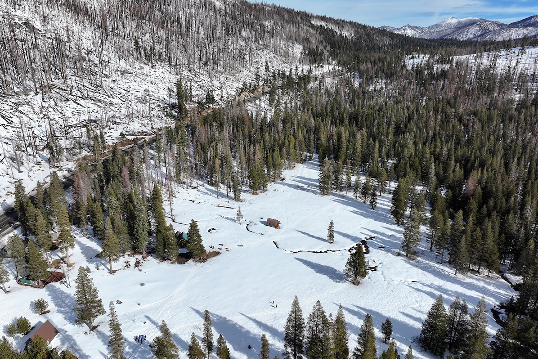
On average, the Sierra snowpack supplies about 30 percent of California’s statewide water needs. Its natural ability to store water is why the Sierra snowpack is often referred to as California’s “frozen reservoir.” Photo: Nick Shockey, California Department of Water Resources
This weather pattern is not unusual for California. In 2013 and 2022, early storm activity was followed by dry conditions, erasing early-season snow totals and continuing existing drought conditions across the state. It is too early to know whether this condition will occur in 2025.
“We are fortunate to have had several solid snow-producing atmospheric river systems so far this season,” said DWR’s Snow Surveys and Water Supply Forecasting Unit Manager Andy Reising. “The fall was extremely dry, so our healthy snow totals are thanks to a handful of big storm systems in November and late December. But to finish the year where we need to be, we will still need additional snow building at a regular pace throughout the winter.”
On average, the Sierra snowpack supplies about 30 percent of California’s statewide water needs. Its natural ability to store water is why the Sierra snowpack is often referred to as California’s “frozen reservoir.”
San Diego Leadership In Water Supply Management
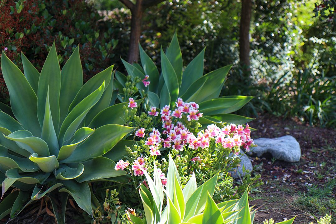
San Diego County residents can continue to use water wisely including in their low water use landscaping. Photo: Helix Water District
For the past decade, San Diego County has been insulated from drought-induced cutbacks due to the long-term investments in secure water supplies, a strategy that emerged in the early 1990s following an economically devastating drought. Since 1990, the region has dramatically cut water demands, reducing per capita water use by more than 50 percent. Water conservation has become a “way of life” for the region’s residents and businesses.
Water Authority Water Resources Specialist Efren Lopez says San Diego County has a reliable supply from the Colorado River and other parts of the state, supplemented by its long-term supply diversification.
“Feel free to irrigate your landscapes, to water your trees and to use water as you need,” said Lopez. “We don’t have any restrictions on water use, and we have very reliable water supplies.”
Lack of Local Precipitation Affects Fire Risk
Winter rains have helped vegetation grow in recent years, providing more fuel for fires. The US Drought Monitor puts all of San Diego County at a moderate drought level. Parts of Imperial County are in severe and extreme drought.
Major reservoirs statewide are currently 121 percent of average thanks to two years of above-average snowpack conditions. DWR prepares for annual extremes by investing in climate resilience to ensure California is able to capture and use as much water during flood conditions as possible.
DWR conducts four media-oriented snow surveys at Phillips Station each winter near the first of each month, January through April and, if necessary, May. The next survey is tentatively scheduled for early February.

